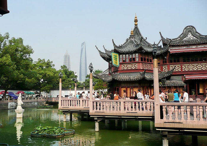
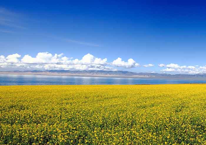
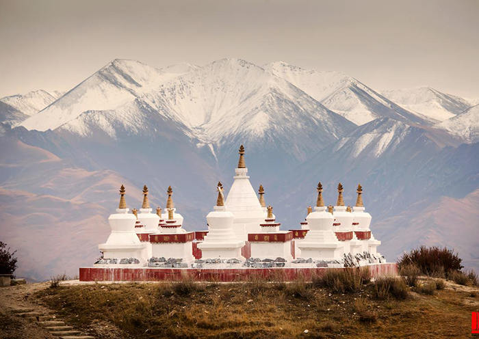
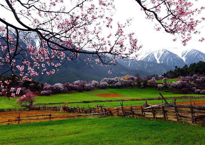
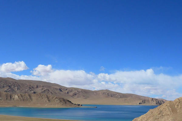
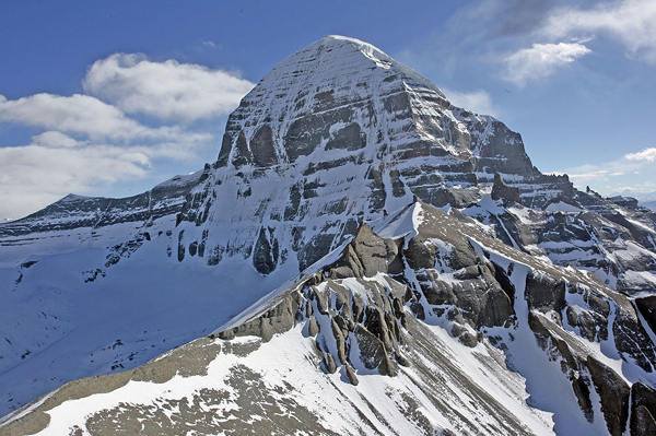
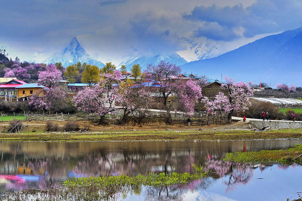
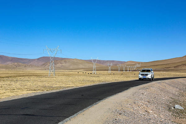
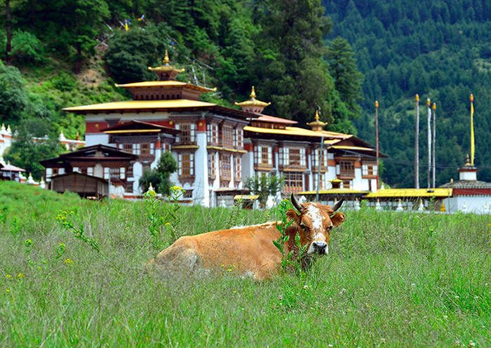
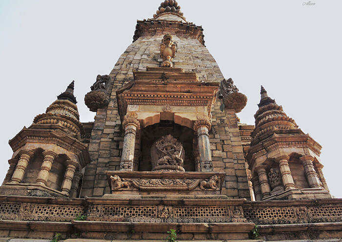
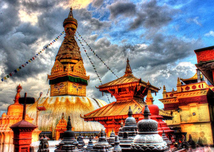
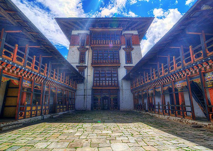
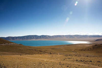
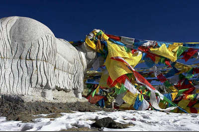
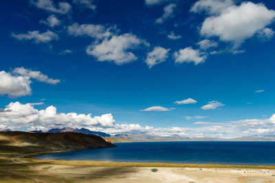
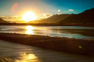
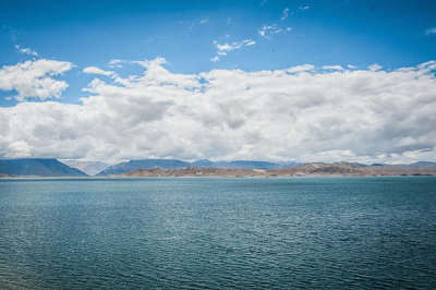
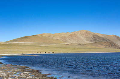
Scenery along the Sichuan-Tibet Highway Southern Route
Highlights on Sichuan-Tibet Highway Southern Route via G318
The Sichuan-Tibet line refers to the Sichuan-Tibet Highway, the ancient tea-horse road in history. Due to the rough terrain and high altitude, the Sichuan-Tibet Highway is one of the most difficult roads to built in China's road construction history. The Sichuan-Tibet Highway starts from Chengdu, Sichuan Province and is divided into two lines at Xinduqiao town. The total length of the south line is 2,149 kilometers, running on the G318 Highway. The north line is further divided into two routes, with a total length of 2,313 kilometers.
Compared with the north route, the south route via G318 National Highway is often deemed to be the more spectacular route, in terms of scenery. Considered to be the most beautiful scenic route to Tibet, the southern route is often used as a pilgrimage route to get to the holy city of Lhasa, the most revered city in Tibet, and the center of Tibetan Buddhism. Recommended travel time:
The appropriate time is from April to October each year: from April to June, the ice on the northern line has slowly melted and the temperature slowly rises; July-August is the rainy season in Tibet with frequent mudflow and landslides. If you drive to Tibet at this time, you should leave yourself more time on the road lest your journey be delayed due to traffic jams and traffic control; from September to October, there’s less cars on the highway than in the summer vacation. But, you’ll face cold weather, as some places in Tibet begin to snow.
Highlights:
1. Luding Bridge: located about 80 kilometers west of the city of Ya'an. The bridge dates from the Qing Dynasty and is considered a historical landmark. It was an important crossing on the road between Sichuan and Tibet.In 1935, during the Long March, soldiers of the Fourth Regiment of the Chinese Workers and Peasants' Army secured the bridge as a river crossing vital to the Red Army.
2.Zheduo Mountain is located in Garzê Tibetan Autonomous Prefecture, southwest China's Sichuan Province. Known as the first pass of the Kamba Area, the mountain is at an elevation of 4298 meters. Zheduo means "winding" in Tibetan Language, and means "a lot of winds" in Chinese, hence the name.
3.Xinduqiao is a picturesque small Tibetan town, famous for its plateau pasture scenery, vivid green grassland, streams, mountains, and Tibetan counting houses. Known as the “paradise of photographers” for its stunning scenery and perfect natural lighting, you are guaranteed to get some amazing photography done here.
4.Mount Gongga: The highest mountain in Sichuan Province, Mount Gongga, or Minya Konka as it is known in Tibetan, is a must-see attraction, and for those with a sense of real adventure, a great spot for trekking. Minya Konka is a huge area, and there are several good trekking routes that you can use, and the routes almost all include the world renowned Minya Konka Monastery. Visited by the National Geographic reporter, Joseph Rock, the monastery also houses a sarcophagus that contains the remnants of a previous “living Buddha” of the monastery, which are now revered as sacred by the monks who visit.
5. Gaoersi Mountain: Gaoersi Mountain is one of the scenic spots on G318 National Highway, with an altitude of 4,659 meters. Located between Xinduqiao and Yajiang County, the mountain can be called the second pass of Kamba area. It is among the best platforms to overlook snow-capped mountains including Yala Mountain, Zheduo Mountain, and Gongga Mountain.
6.Jianziwan Mountain:Jianziwan Mountain is located west to Xianggezong Village, Yajiang County, Sichuan province. Its altitude is over 4000 meter above the sea level. And the Jianziwan Pass is one of the highest passes via G318 Highway in Kamba areas, and it is also a good place to view the Mount Gongga.
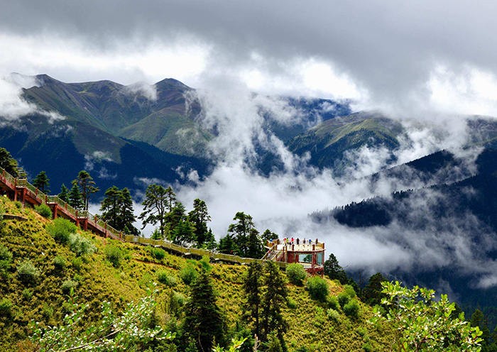
7.Kazila Mountain: Located in Sichuan Province, the mountain mainly features alpine meadow and boasts an altitude of 4718 meters. When you cross over the mountain, you may find the clouds changing all the time, sometimes white, sometimes in dark.
8. Litang County: Litang Town (the seat of the county) itself is located at an altitude of 4,014 metres. It is on open grassland and surrounded by snow-capped mountains and is about 400 meters higher than Lhasa, making it one of the highest towns in the world.
9.Daocheng County: Daocheng is located at an altitude of 3750m. While there may not appear to be much to do in this town those who do decide to stop over and spend a day here will find this town/village much more charming than it initially appears. If you take the time to head out of the town you will find the surrounding countryside and mountainous backdrop quite charming.Daocheng is a sensible acclimatizing base for a trip onward to Yading and the Yading Nature Reserve (which has trail altitudes of 4000m+). There are monasteries out in the countryside, but the hot springs, supposed to be only 4km or so from the center, are currently inaccessible due to construction of the only road.
10.Yading: The Yading Nature Reserve in the Kham region of Sichuan is one of the most beautiful and popular places on the Tibetan Plateau. The reserve is the home to the three holy mountains of Chenrezig (6,032 meters), Chanadorje (5,958 meters), and Jambeyang (also 5,958 meters). These snow-capped peaks sit in a triangle formation with forested valleys, clear rivers, glacier-fed lakes and abundant wildlife between them.
11.Zhuomalacuo: Zhuomalacuo(or the Pearl Sea) is a high altitude lake in the Yading Scenic Region, Sichuan, China. It is located at an altitude of over 4000m and is surrounded by the three Holy Peaks (including Xiannairi Peak) in Yading.
12.Luorong Cattle Farm: Located in Sichuan Province Luorong cattle farm is surrounded by three snow mountain. Luorong cattle farm is among the most famous scenic spots in Yading Village. It is 4150 meters above sea level. There are flocks and herds enjoying the sunshine, green grass and pure water. The long distance travelers can choose to camp here.
13.Five-color Lake: Five-color Lake is called as “Dengcongcuo” by the locals, which means the lake of happiness. The lake can show five different colors due to the refraction of the light. It is a famous sacred lake with many legends based on it.
14.72 Turnings of Nujiang River: Many of the highways in China are miracles of modern construction, but the best has to be the part of the highway that meanders down the side of the Nujiang Mountain, in Baxoi County of Chamdo prefecture. This 12-kilometer long stretch of the highway switches back and forth, as it descends the mountainside, with sharp turns at each interval. With 72 turns along its length, drivers must take extreme care driving down this road, which culminates at the Nujiang River at the bottom of the mountain.
15. Bangda Prairie: Located in the Qamdo area of the Tibet Autonomous Region, the Bangda Grassland is an alpine grassland with lush vegetation and flat terrain. More than 130 kilometers away from the city of Baju, the Bangda Prairie crosses Bangda Town and Yiqing Township.
16.Basu County: Located on the western part of Tibet, the county is a must-visit place on your way to Lhasa. With an altitude of 5971 meters, it boasts varied terrains, developed traffic and sufficient energy. It is an ideal place for tourists to travel, adventure and explore.
17.Lulang Town: Located in Nyingchi, the town is billed as the “east gate of Nyingchi” with an altitude of 3700 meters. Lulang means “the place where the immortals live”.
18.Yarlung Zangbo Grand Canyon:Yarlung Zangbo Grand Canyon, along the Yarlung Tsangpo River in Tibet Autonomous Region, is the deepest canyon in the world, and at 504.6 kilometres is slightly longer than the Grand Canyon in the United States, making it one of the world's largest.The gorge has a unique ecosystem with species of animals and plants barely explored and affected by human influence.
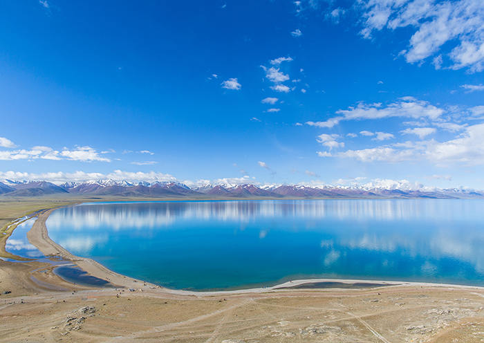
19.Basongcuo: Basongcuo, also called Cuogao Lake (Cuogao means green water in Tibetan), is a fantastic lake that hides among the mountains and valleys in southeast Tibet, with an altitude of over 3,700 meters. Covering an area of 25.9 square kilometers, Basongcuo Lake spreads like a huge crescent that goes 12 kilometers long, a few hundred meters wide and about 60 meters deep. Different from other holy lakes in Tibet, Basongcuo is surrounded by dense primitive forest. As its name implies, the water is so clear that you can see the bottom of the lake and reflections of the snow mountains.
20.Maoya Prairie: Located in western Litang County of Ganzi Prefecture, Maoya Prairie is the largest area of grassland in the central Shaluli Range of the Hengduan Mountains. With an altitude between 3,800 meters and 4,500 meters, this boundless prairie is filled with wandering flocks and herds, and is the site of the famous Litang Horse Racing Festival.
21.Niubei (bull back) Mountain: Niubei (bull back) Mountain is situated in Yingjing County of Ya'an City in Sichuan and borders Luding County, with an elevation of 3660 meters. It is so named as there is a large rock protruding from the cliff on one side of the mountaintop like the head of a bull, and the ridge is long and narrow like the back of a bull.
22.Ranwu Lake: In Tibetan, it means “lake like goat milk”. It is a famous plateau glacial lake with an area of 22 square kilometers and an altitude of 3850 meters. The blue lake reflects the lush forests on the lakeside, and the lakes are surrounded by waterfowls.
23. Midui Glacier: Midui Glacier is regarded as 1 of the 6 most beautiful glaciers in China by China National Geography Magazine. It is located in Yupu Town, about 100 km east of the county seat of Bome. Being famous for its grant ice basin, for its frequent snow avalanches, and for its giant ice cascade as long as 700 to 800 meters, it coexists with snow mountains, forests, lakes, villages and temples in harmony. It’s a natural park of glaciers..
24. Bomi County: surrounded by snow-capped mountains, the county features mild climate, abundant rainfall, lush vegetation and no chilly winter or hot summer. It is called “Tibetan Switzerland” and “Snowland Jiangnan”. Located on the east bank of the Yarlung Zangbo River, with an average elevation of 4,200 meters, it is the birthplace of the Kachin Glacier, the largest marine glacier in China.
25. Lulang Scenic Area: LuLang means “Dragon King Valley” in Tibetan language, or “a place that will make you forget your home”. It is located by the Sichuan-Tibet Highway, about 80 km from Nyingchi County. In summer, the flowers will blossom. Also, it is 1 of the best spot to watch the Namjagbarwa (the highest peak in Nyingchi with an elevation of 7782 meters).With an elevation of 3700 meters, Lulang Forest is a typical plateau-mountain-meadow, 15 km long and 1 km wide. Known as a fairyland where gods live in with scenic beauties, it has special breathtaking scenery in every season. You will get lost in the fairy tale. The clouds constantly change their shapes above Lulang Forest. Sometimes they are like galloping horses or leisure yaks.
26. Sejila Mountain: Located in the east of Nyingchi County, it is the watershed of the Niyang River and the Palong Zangbo River. Having climbed up to the 4,728 meters high mountain pass, one will observe the sunrise, cloud sea and boundless forest and the grand Nanjiabawa from afar. The Benrila Mountain near the Daze village at the hillside of Sejila, the holy mountain of Ben, is among the four Tibetan holy mountains. The pilgrimages came here to circle around the holy peak throughout the year.
27. Lhasa River: It is a large tributary in the middle reaches of the Yarlung Zangbo River and one of the highest rivers in the world.
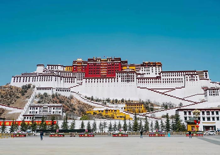
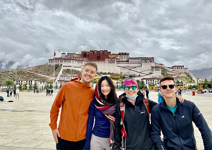
28. Lhasa: The holy place of Tibetan Buddhism, also known as the city of sunshine. It is located in the middle of the Tibetan Plateau. It is the capital of the Tibet Autonomous Region, a political, economic, cultural and religious center with an altitude of 3,658 meters. It is a gathering place for devout believers and a fast-growing city.
