Scenery along the Qinghai-Tibet Railway
The Qinghai-Tibet Railway, which runs from Xining in Qinghai in the east to Lhasa in Tibet in the south, has a total length of 1,956 kilometers and is one of the four major projects in the new century in China. On July 1, 2006, the Qinghai-Tibet Railway officially started operating. Most areas where the train passes through are still remote and uninhabited. These areas are also clean and natural without and development nor pollution..
Xining is the gateway to the Qinghai-Tibet Plateau and the starting point of the Qinghai-Tibet Railway, which is 2,260 meters above sea level. Xining’s sceneries are of the plateau . The sky in Xining presents the typical plateau blue and the air feels cool and crispy. At the railway station, you can feel the local culture and the exotic atmosphere in western China.
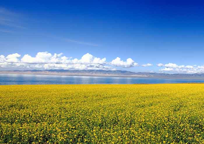
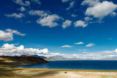
The train passes through the north bank of Qinghai Lake. In some counties on the way, you can see herdsmen and farmers wearing their local costumes. The big Qinghai Lake and the snow-capped lake can be seen from the train.
After passing through Gangcha County, the gradually leaves the Qinghai Lake Ranch, and goes to the Haixi Mongolian Tibetan Autonomous Prefecture. Then it passes the Guanjiao Mountain Tunnel, which is of the highest altitude (3,690 meters) tunnel from the Xining-Germu section of the Qinghai-Tibet Railway. Before the Lhasa section was completed, it was once the highest altitude tunnel in China.
After passing through Wulan County, the 315 National Road, which has been accompanying the railway, was separated until the next stop in Delingha. There is a tourist attraction in Delingha City, which is located at Crook Lake and Tosu Lake, 40 kilometers west of the city. The Qinghai-Tibet Railway just goes between the two lakes.
After the railway comes out of Delingha, there is complete desert along the way. For a long time, there is no residence, and you can only see a few small work trailers occasionally. Bypassing the Amunik Mountain at an altitude of 4040 meters to the left of the railway, the railway turns to south. One of the most spectacular sights along the Qinghai-Tibet line is the “Thousand-mile Salt Bridge”. The Thousand-mile Salt Bridge is located on the Chaerhan Salt Lake 60 km from Golmud, with a total length of 32 km. The two sides of the bridge are East Dabson Lake and The north and south Huoluuxun Lake, the subgrade of this section of the railway is completely cast from the crystal of various salts, is a rare spectacle.
When the train goes southward along the Golmud River, which was injected into the East Dabson Lake, we arrive in Golmud, another important city along the Qinghai-Tibet Railway besides Lhasa and Xining. Golmud is over 2,800 meters above the sea level. It is845 km from Xining and 1,200 km from Lhasa.
When the train keeps moving to 30 kilometers from Golmud City, it arrives at the Nanshankou station. Then the train goes towards south and departs the Qaidam Basin and enters the Kunlun Mountains. Kunlun Spring is said to be the sacred liquid of the Heavenly Palace. It boasts a reputation as “the holy water of the world”. After enjoying the beauty of Kunlun, the next section of the railway is built by the terrain, which is a magnificent viaduct for a while, and a long tunnel through the mountains. There are also a few of Taoist small temples on the side of the highway with some stone piles and prayer flags for the Tibetans to worship. Scattered are some stone tablets and blurred ancient stone statues along the way as well.
To the south of Kunlun Mountain Pass, the train arrives in Haixi and then goes to Yushu Tibetan Autonomous Prefecture. You will see a completely different view from the desert Salt Lake in the Qaidam Basin. It is an endless alpine desert grassland with few horizons. Therefore, which is also called the Hoh Xil uninhabited land. It is the largest uninhabited area in China and the third largest in the world. It is also the best preserved area in the world. Along the way, you will see three or four natural reserves. The railway also has a section of about 20 kilometers on the wild animal pass reserved for the seasonal migration of Tibetan antelope, which is as long as a special railway bridge.
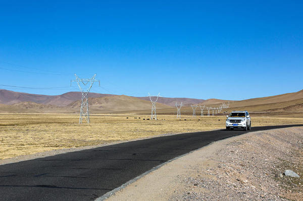
The railways and highways in this uninhabited area are all super straight. The roads seems to lead straight to the sky, that’s why people also call them sky roads. The next big station is Tanggula Mountain Station, which is 4,780 meters above sea level and 417 kilometers away from Golmud. From then on, you can see the bridge across the Tuotuo River and the Yangtze River source monument.
Going further down the south, it gradually entered the Tanggula Mountains. The terrain was not as wide as it was before. The rolling hills were covered in alpine meadows and softly carpeted on the plateau. After passing the Tongtianhe Bridge, the surroundings began to fold up into the canyon zone.
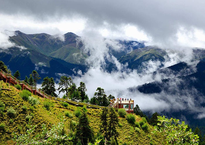
Then proceed to the depths of the Tanggula Mountains. Although the Tanggula Mountain section is the highest elevation of the Qinghai-Tibet Railway, the mountain range is not as steep as people think, it can be said to be very gently inclined. Because the vegetation on the mountain is tightly covered and there is no damage, some places are as delicate as human skin from a distance, and it looks like a fairytale view, but the snowy mountains and cold winds in the distance will remind you that it is a plateau above 5000 meters above sea level.
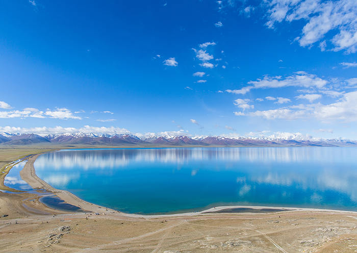
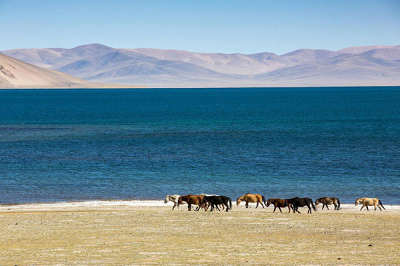
From the Tanggula Pass to the south, it officially entered the Nagqu area of the Tibet Autonomous Region. It is also known as the Qiangtang Grassland. In Tibetan language, “Qiantang” means the grassland in the north. The train continued to go to the town of Pana in Ando County. From the Amdo County, the train will pass through the Tsona lake. Tsona means the Black Lake in Tibetan.
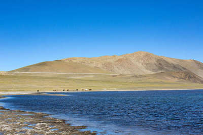
There is a short distance from Nagqu Railway Station to the Naqu Town. After passing through the town of Naqu, you will find that the grass on the grassland grows more lush, and it feels more moisturized. This is the plateau wetland pasture. You can often see a few newly settled herdsmen’s settlements. In order to prevent the storm on the plateau, the settlements are built lower, but they look cozy and warm.
From Dangxiong County, the wetland is gradually replaced by the bushes on the ground. Then the train crosses the last mountain range of the trip - the Nyainqentanglha Mountains. The train continues to go towards the south and passes by the Yangbajing Township, where is more populated and then enters the semi-agricultural and semi-pastoral areas.
After passing through Yangbajing Town, the railway turns from southwest to o southeast. When the train headed for the Yangbajing River, it enters the alpine valley area. The train travels through the canyon, and the river rushes into the river clapping against the huge stones in the river.
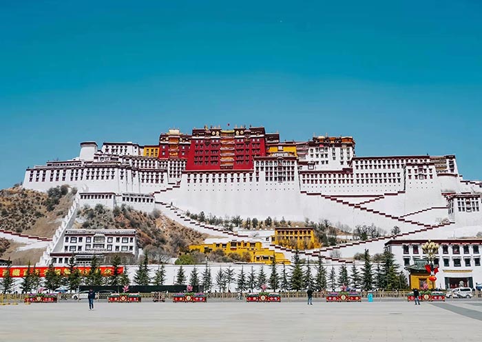
After passing by Duilong Deqing, as the valley became wider and wider, the pile of dragons and streams merge into the Lhasa River, and the Lhasa Valley shows up. The city of Lhasa is spread out in front of us.




 Data in submission...